 Sketchfab
nature-plants
Go to Model
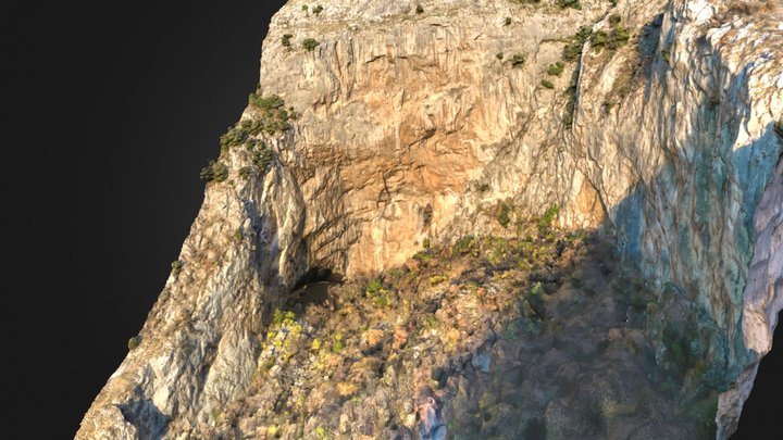
イランの岩塩ドーム付近の地形
0
Downloads
1
Likes
0
Makes
イランの岩塩ドーム付近の地形
Terrain near a salt dome in Iran
Vertical ratio: ×3
Attributions
* Generator: [DEM Net Elevation API](https://elevationapi.com)
* Mesh reduction: [geometry3Sharp (GradientSpace, Ryan Schmidt) BSL 1.0 License](https://github.com/gradientspace/geometry3Sharp/blob/master/LICENSE)
* Digital Elevation Model: [AW3D30 OpenTopography](https://opentopography.org/)
* Imagery: [MapBox Satellite Street](https://www.mapbox.com)
Terrain near a salt dome in Iran
Vertical ratio: ×3
Attributions
* Generator: [DEM Net Elevation API](https://elevationapi.com)
* Mesh reduction: [geometry3Sharp (GradientSpace, Ryan Schmidt) BSL 1.0 License](https://github.com/gradientspace/geometry3Sharp/blob/master/LICENSE)
* Digital Elevation Model: [AW3D30 OpenTopography](https://opentopography.org/)
* Imagery: [MapBox Satellite Street](https://www.mapbox.com)
Did you print this model? Sign in and share your make!
Sign in to leave a comment
Sign inNo comments yet – be the first!