Thingiverse
NSW Topography and Elevation Map
di BLPS
3
Download
2
Likes
0
Makes
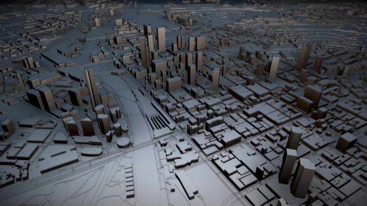
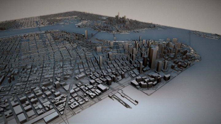
These 3D maps showcase the topography and elevation changes across NSW. The topmost point of NSW is Mount Kosciuszko at 2228m above sea level, and the lowest point is in Lake Eyre basin at 15m below sea level. A braille map of NSW is printed on the base.
Hai stampato questo modello? Accedi e condividi il tuo make!
Accedi per lasciare un commento
AccediAncora nessun commento – sii il primo!