Thingiverse
Slovakia topographic 3D map
door PavolZiacek
4
Downloads
5
Likes
0
Makes
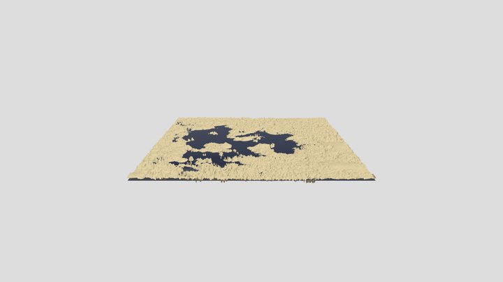
3d model of Slovakia generated by Touch terrain page: https://touchterrain.geol.iastate.edu/main
Kml geographic data were generated manually in Google Earth.
See attached files if you want to use them on your own.
The attached stl files are in various vertical scales.
I recommend you use stl with a vertical scale 10 to get a model with nice terrain differences.
Inspired by : https://www.zive.cz/clanky/vytiskli-jsme-barevnou-ceskou-republiku-ukazeme-vam-krok-za-krokem-jak-se-to-dela/sc-3-a-220682/default.aspx
Heb je dit model geprint? Inloggen en deel je make!
Log in om een reactie achter te laten
InloggenNog geen reacties – wees de eerste!