Thingiverse
Mount Feathertop
von lockylast
5
Downloads
2
Likes
0
Makes
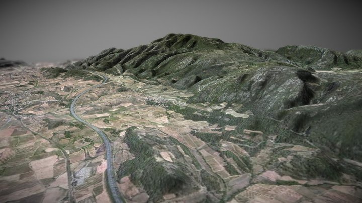
Digital Elevation Model of Mount Feathertop including the razorback that runs to Mount Hotham.
DEM data sourced from [data.vic.gov.au](https://discover.data.vic.gov.au/dataset/vicmap-elevation-dem-10m), and converted to STL using the [QGIS DEMto3D plugin](https://plugins.qgis.org/plugins/DEMto3D/). Label added with Fusion360.
DEM data sourced from [data.vic.gov.au](https://discover.data.vic.gov.au/dataset/vicmap-elevation-dem-10m), and converted to STL using the [QGIS DEMto3D plugin](https://plugins.qgis.org/plugins/DEMto3D/). Label added with Fusion360.
Hast du dieses Modell gedruckt? Einloggen und dein Make teilen!
Melde dich an, um einen Kommentar zu hinterlassen
AnmeldenNoch keine Kommentare – sei der Erste!