Thingiverse
Mount Feathertop
di lockylast
5
Download
2
Likes
0
Makes
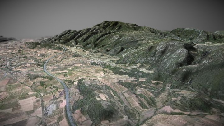
Digital Elevation Model of Mount Feathertop including the razorback that runs to Mount Hotham.
DEM data sourced from [data.vic.gov.au](https://discover.data.vic.gov.au/dataset/vicmap-elevation-dem-10m), and converted to STL using the [QGIS DEMto3D plugin](https://plugins.qgis.org/plugins/DEMto3D/). Label added with Fusion360.
DEM data sourced from [data.vic.gov.au](https://discover.data.vic.gov.au/dataset/vicmap-elevation-dem-10m), and converted to STL using the [QGIS DEMto3D plugin](https://plugins.qgis.org/plugins/DEMto3D/). Label added with Fusion360.
Hai stampato questo modello? Accedi e condividi il tuo make!
Accedi per lasciare un commento
AccediAncora nessun commento – sii il primo!